
About the Site
Site History
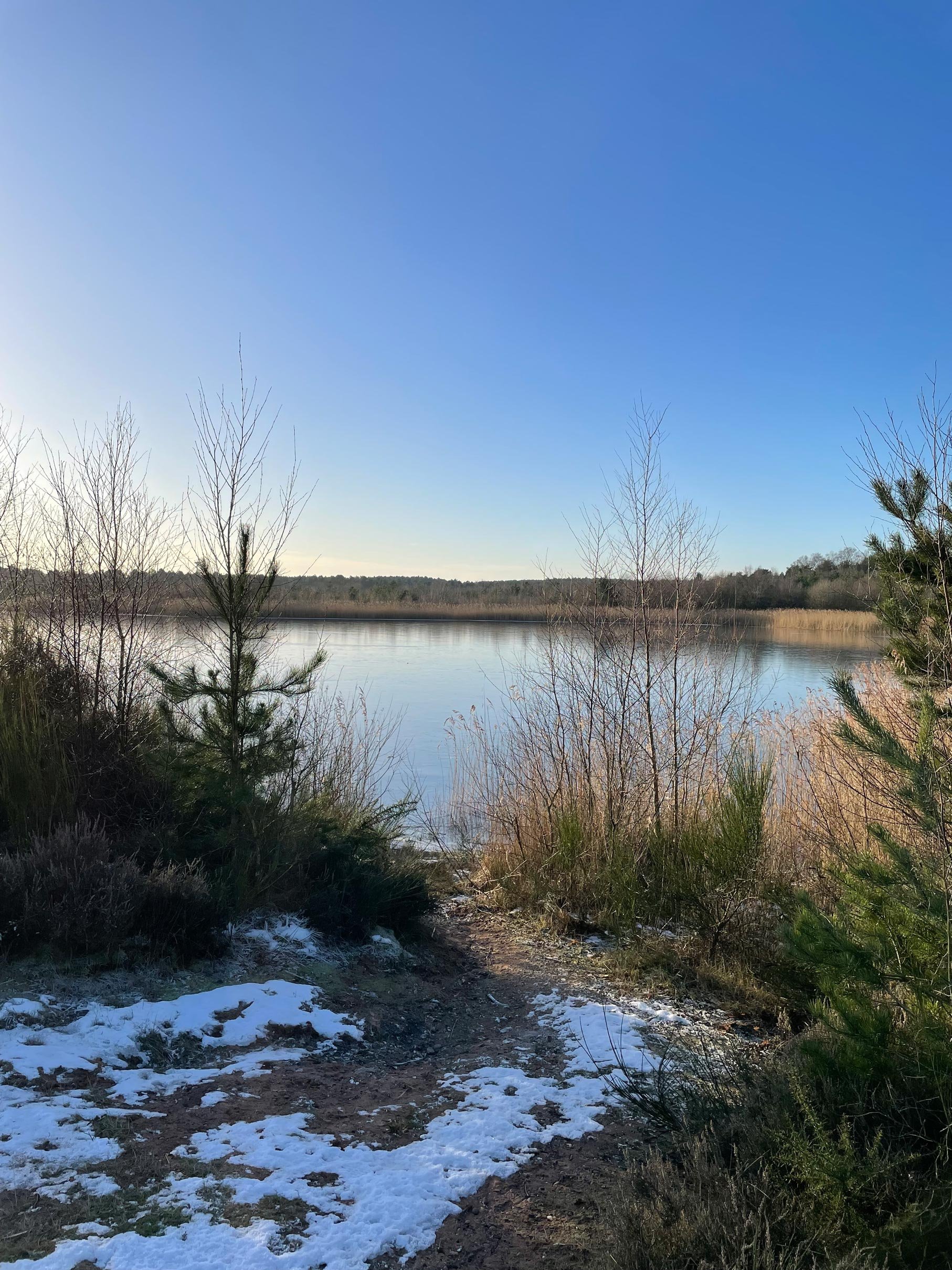
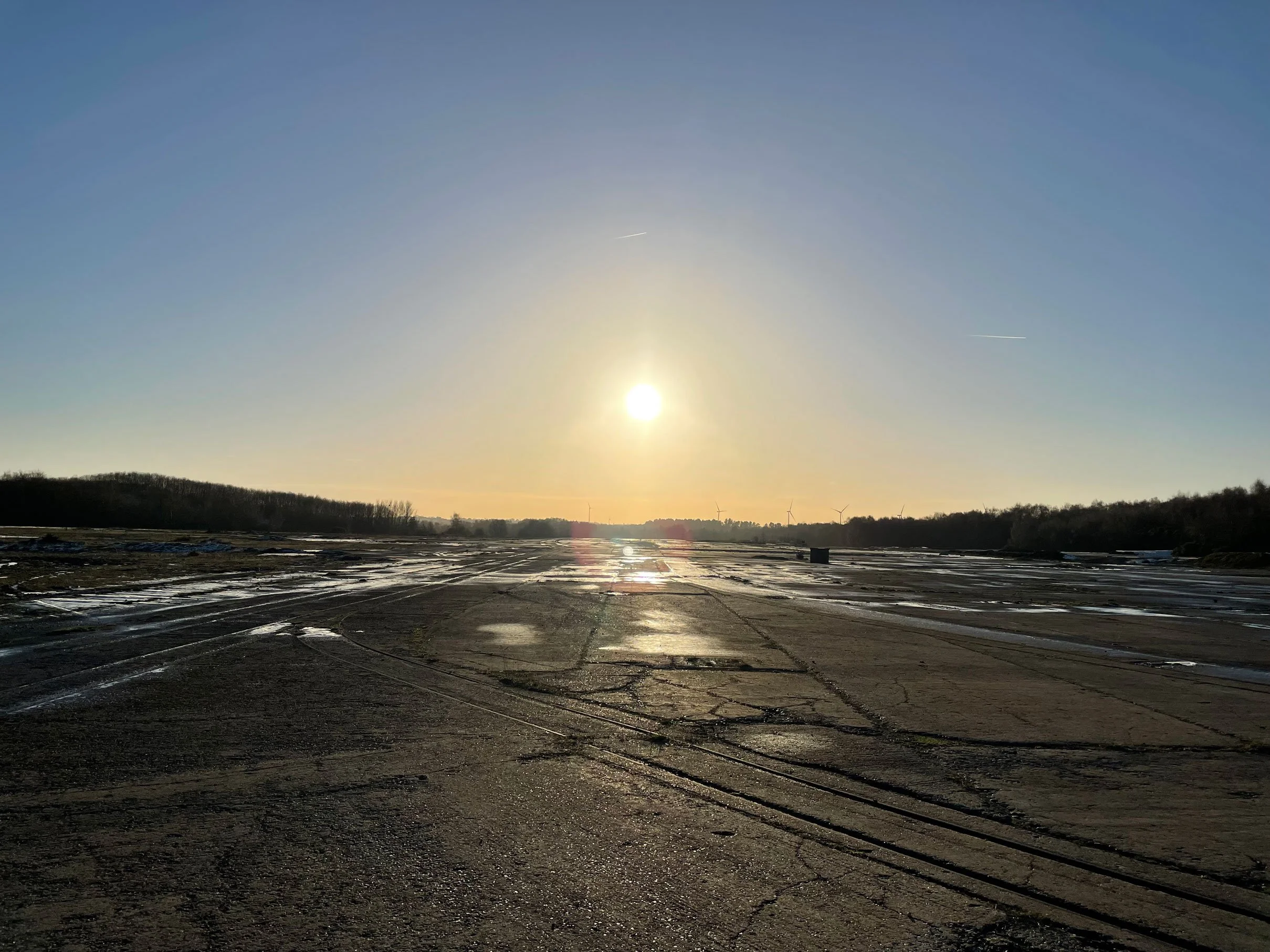
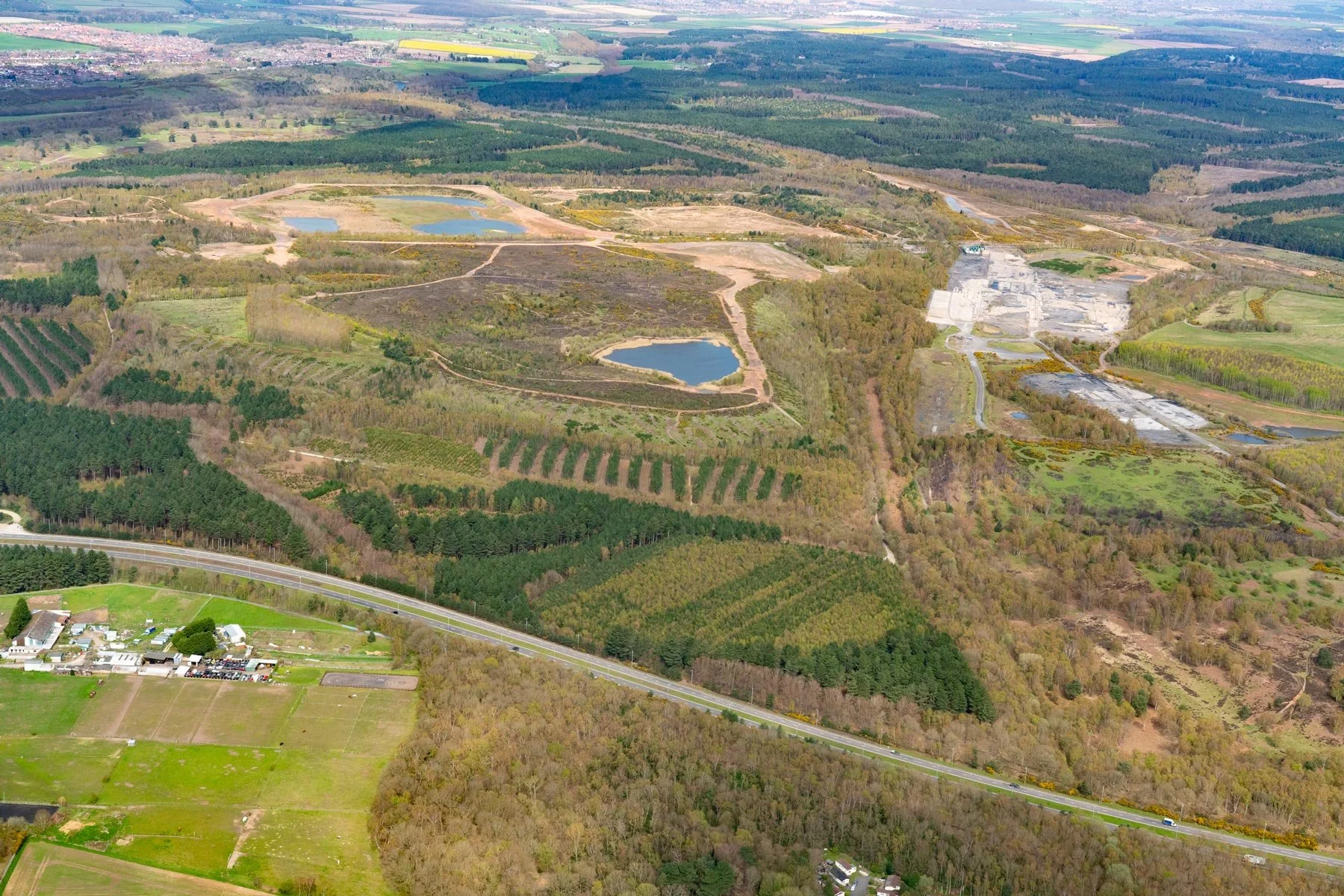
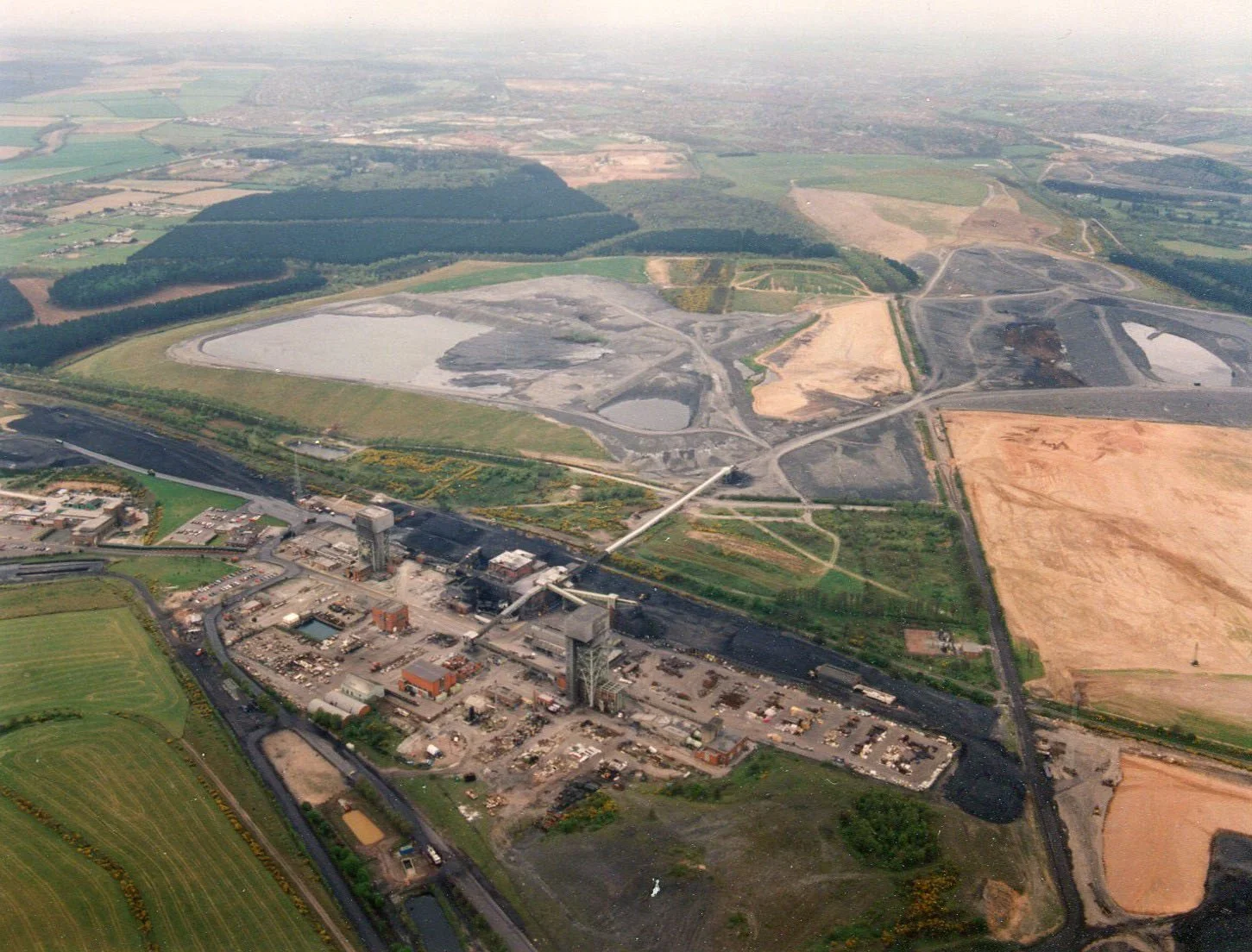
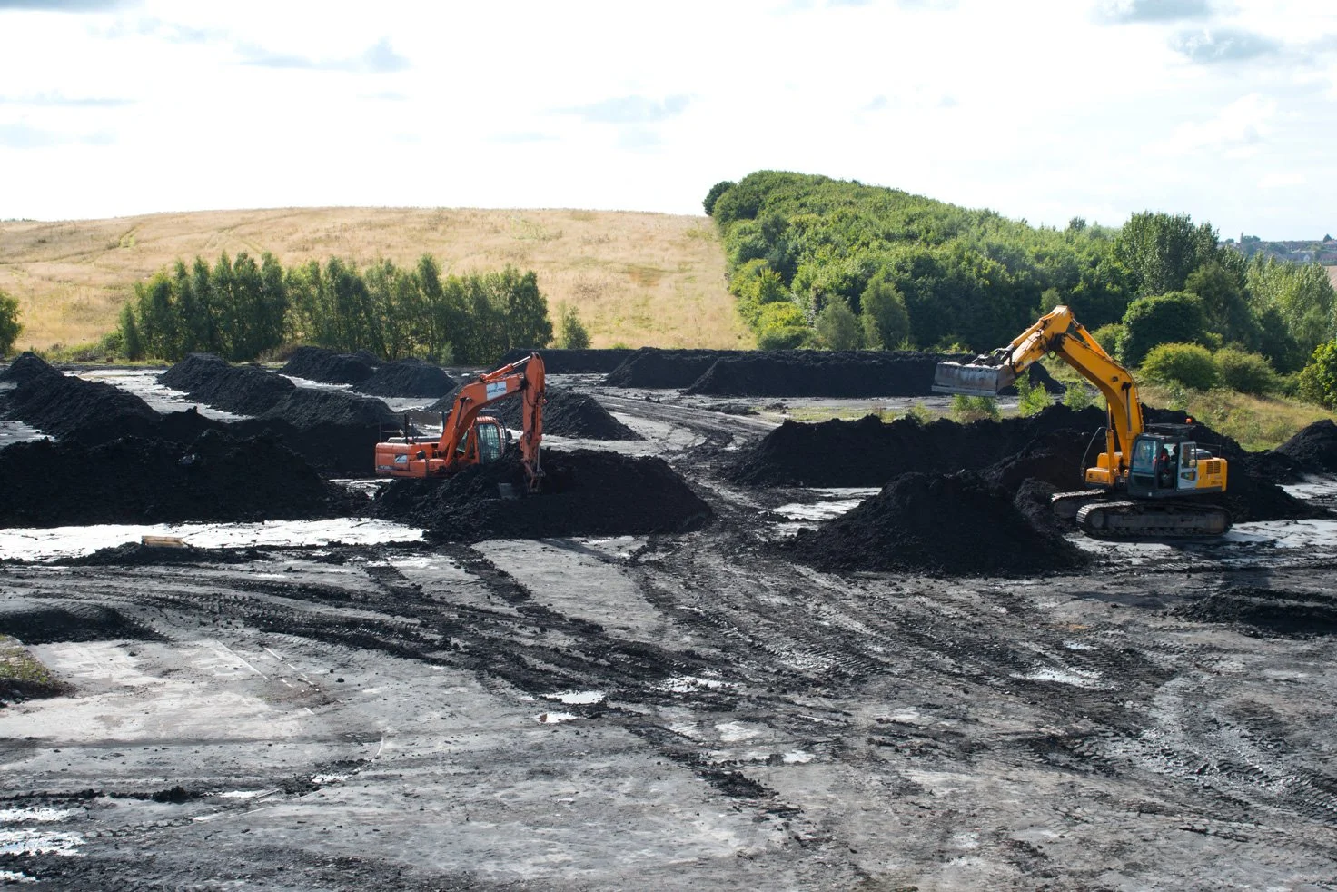
Rufford Colliery was a deep mine that operated from 1911 and closed in 1993. The spoil heaps at Rufford also received colliery spoil via an internal road from Clipstone colliery to the north. For a 5-year period in the early 2000’s, coal fines were extracted from the spoil heaps and transported to the power stations to be blended with coal. Sand has also been extracted from the site. The sale of coal fines and sand has funded the restoration of the wider site over the last decade. The restoration has been completed to a high standard to establish new wildlife habitats including large water bodies and heathland, which is attractive to woodlarks and nightjars. The work has been completed through a close working relationship with Nottinghamshire County Council and The Wildlife Trust.


Site Location
The former Rufford Colliery is located to the north of Rainworth, adjacent to the A617 Rainworth Bypass, which is part of the Mansfield Ashfield Regeneration Route (MARR). The site is accessed via Rufford Colliery Lane, which connects the Colliery to Rainworth village. The site is surrounded by the wider colliery site on all sides, which has been extensively remediated. To the south of the site is the Rainworth Sewage Treatment Works and Cygnet Healthcare site.